
Urban Nature Map revisited
Green-blue networks in the urban battle for space
17 februari 2020
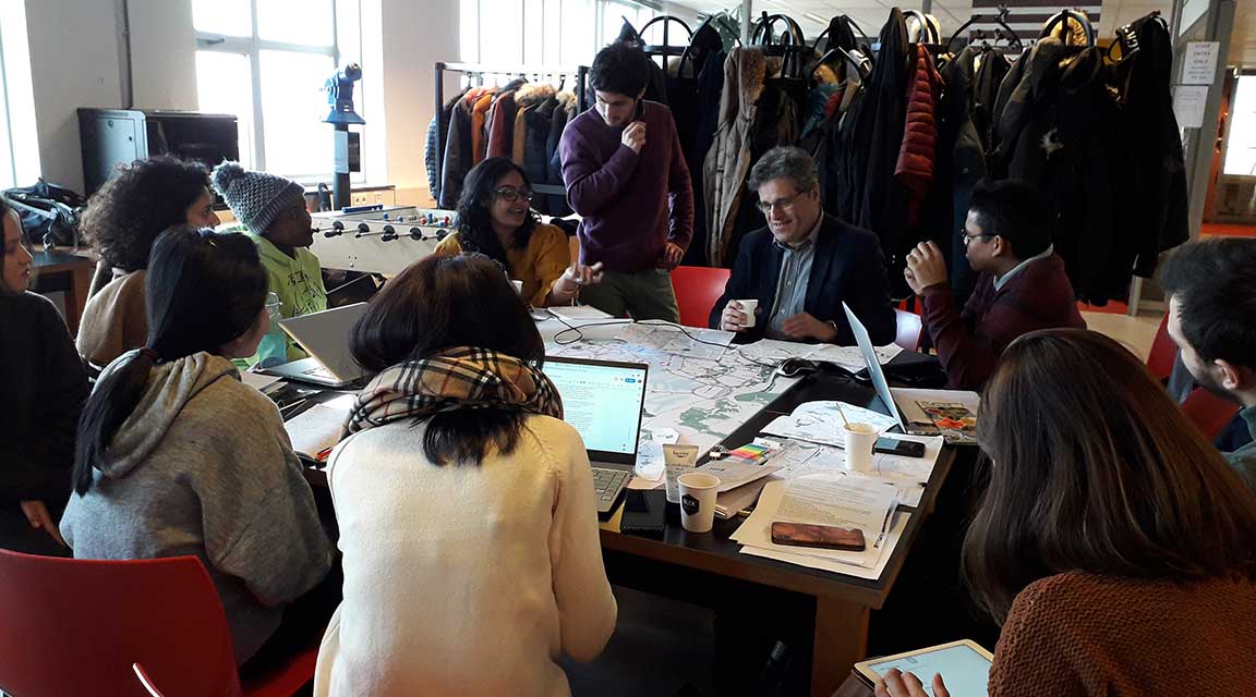
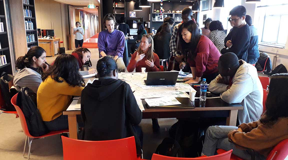
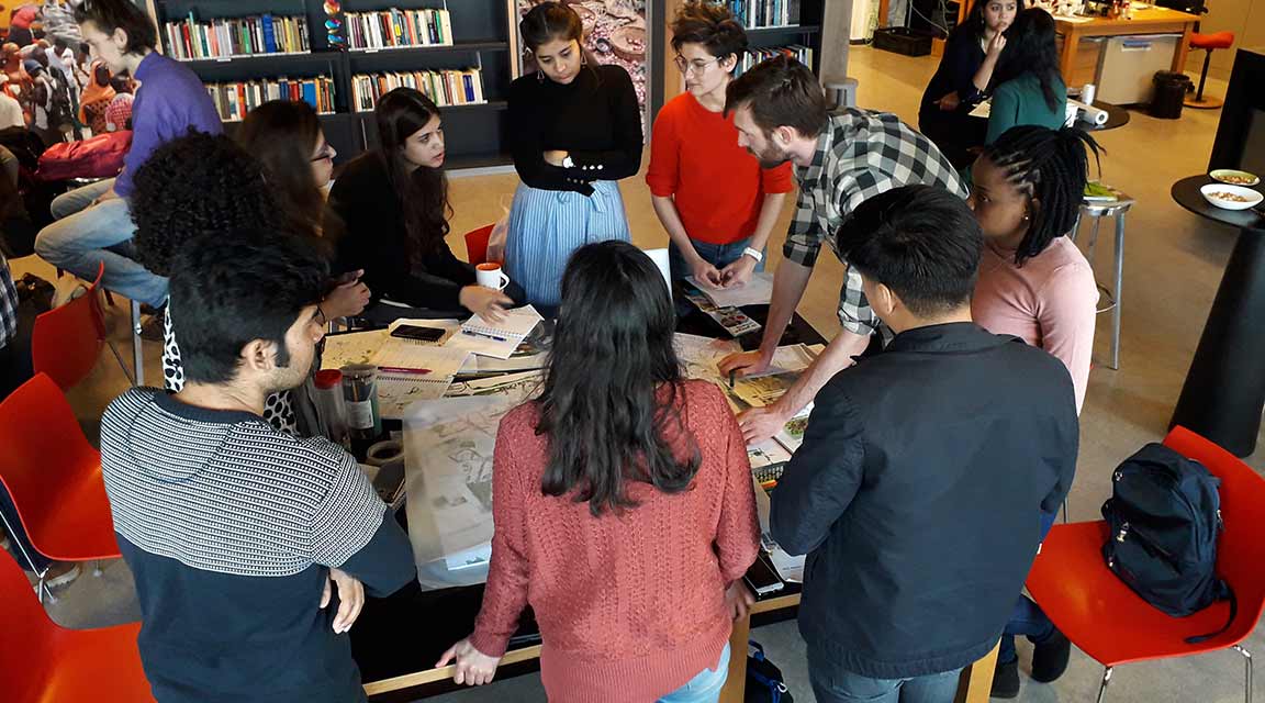
The Urban Nature Map of Rotterdam has been analyzed a couple of weeks ago by the students of IHS, the Institute for Housing and Urban Development Studies at the Erasmus University. It’s the second time that we work together to keep this map alive an up to date, but this year we wanted the students to look at it under a new light. We invited them to reflect on the city’s accelerated densification and on how the green-blue network could respond to it.
The students integrated four teams and got each a different neighborhood to look into. The selected areas are the ones with higher densification pressure in Rotterdam: Nieuwe-Mathenesse, Stadsdriehoek, Katendrecht and Oud-Ijsselmonde.
We prepared and guided the workshop, inviting stakeholders that could provide students with information and input on their preliminary analysis of the neighborhoods. This resulted in an extremely lively and instructive session in which all teams had the chance to discuss their ideas with four experts and learn a lot, not only about green-blue strategies, but also about Rotterdam.
We did not make a new Nature Map for Rotterdam yet, but we certainly harvest many ingredients for it and opened up a new path to work it out. Many thanks to IHS for inviting us to do this with them, to the students that engaged so deeply with the exercise and to the invited stakeholders that had the kindness to come along and openly share their knowledge with us.
Are you interested in this topic and willing to get involved? Please get in touch: alankrita.sarkar@deltametropool.nl